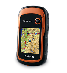
Low pressure fishing holes sometimes require hiking to get to. I use the Garmin eTrex 20 for that. It is accurate, accepts maps, and is reasonably priced at around $150.
It comes with a default base map. Additional maps can be purchased from Garmin, dowloaded for free from various sites on the internet, or created for free in the form of custom maps. I make custom maps because I only require small maps with high detail covering trails around a body of water.
Here is how I make and upload
custom maps,
tracks,
waypoints, and
geocaches.
Custom Maps
To create a custom map download a trail map image from the internet. It must be a jpg so convert it if necessary. Size it to no larger than 1024 x 1024 pixels and 500kb. The eTrex 20 will store 100 custom maps of this size. If you have more than 100 custom maps just store them all on your computer and load up only the ones you are currently using onto the device.
Load Google Earth up and add an image overlay.
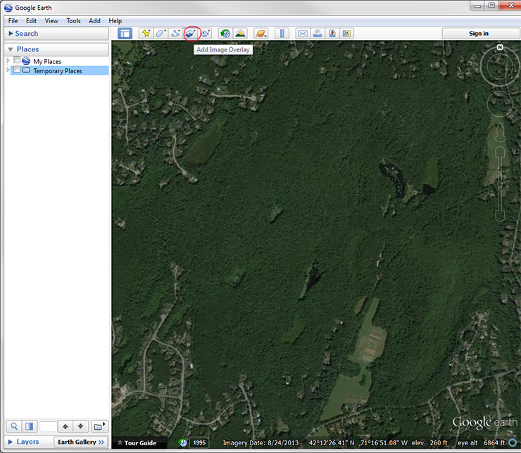
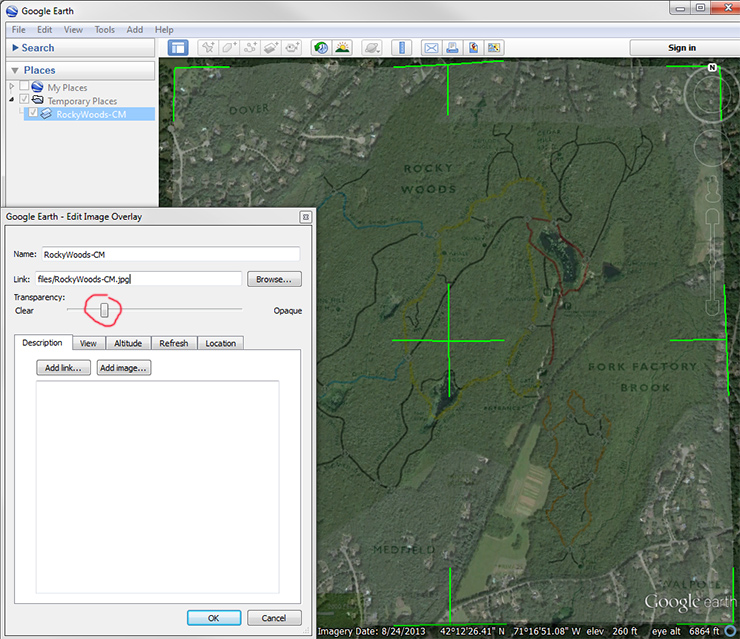
Lower the transparency of the image overlay so you can also see the satellite image below it, and use the green lines to turn and resize the image overlay to line it all up.
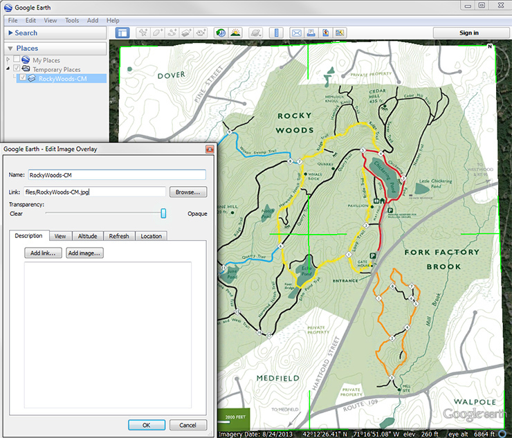
Once it is lined up turn the transparency back up and set the draw order to 50 so the trail map appears above all Garmin maps.
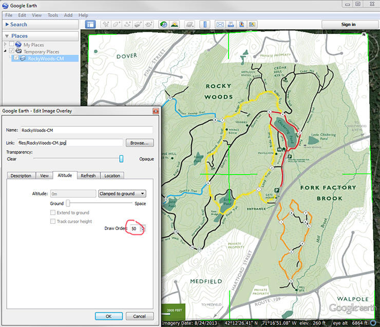
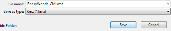
Save the map as a kmz file.
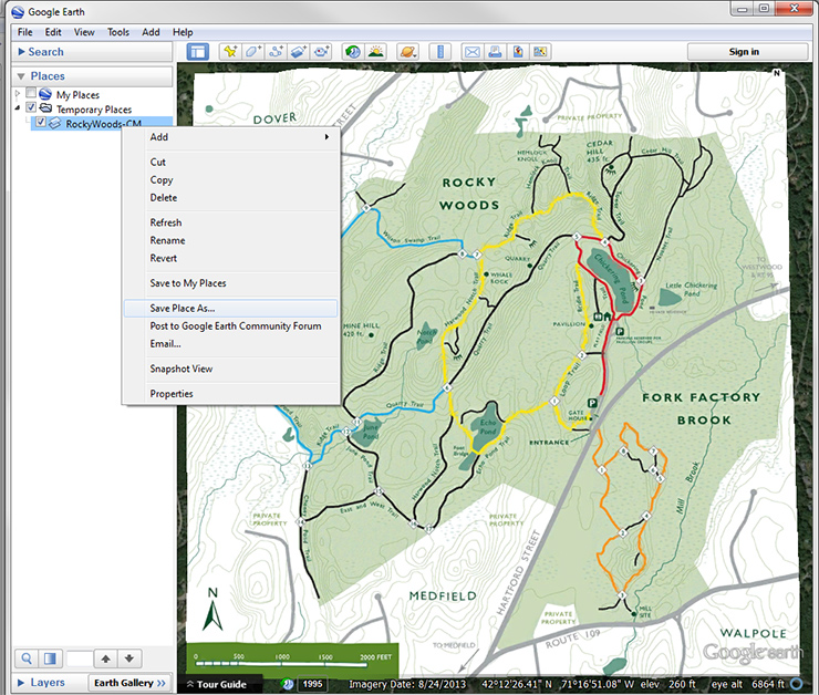
Using Windows Explorer copy the kmz file onto your eTrex in the Garmin\CustomMaps directory.
 Up
Tracks
Up
Tracks
To make a track load up Google Earth and add a path.

Click the mouse along the desired path.
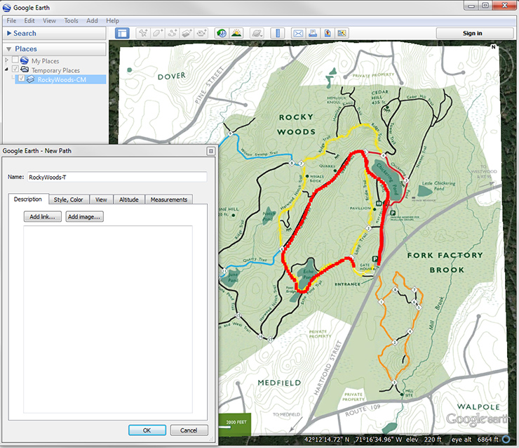
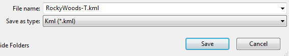
Save the track as a kml file.
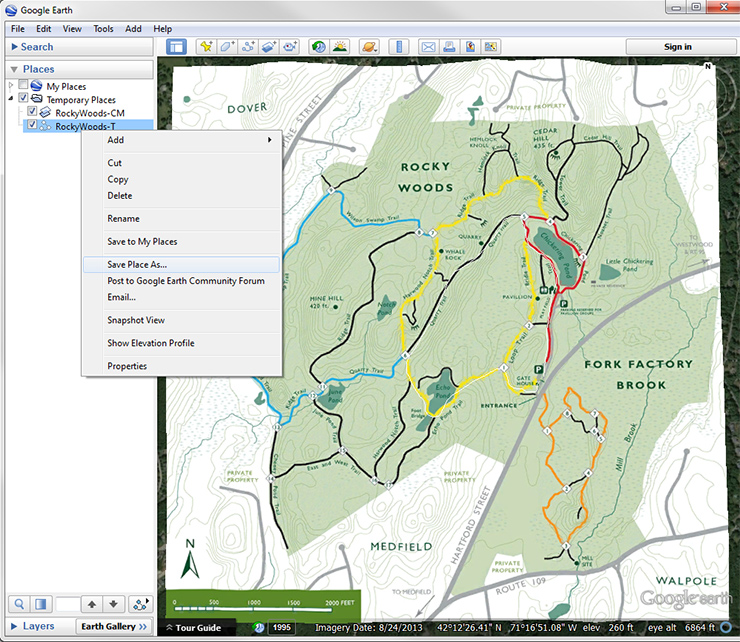
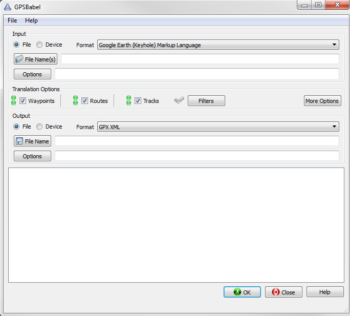
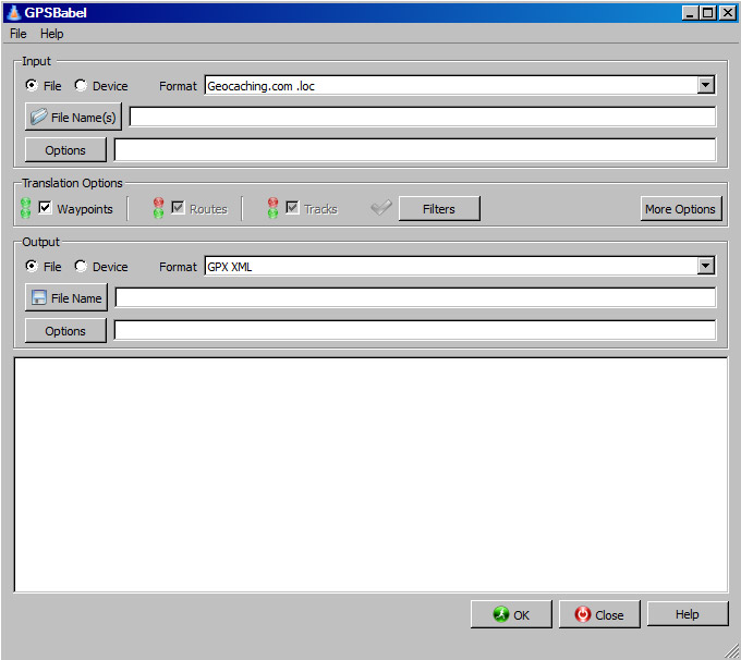
Load up GPSBabel to convert the kml file to a Garmin compatible gpx file.
Using Windows Explorer copy the gpx file onto your eTrex in the Garmin\GPX directory.
Up
Waypoints
To make a waypoint load up Google Earth and add a placemark.

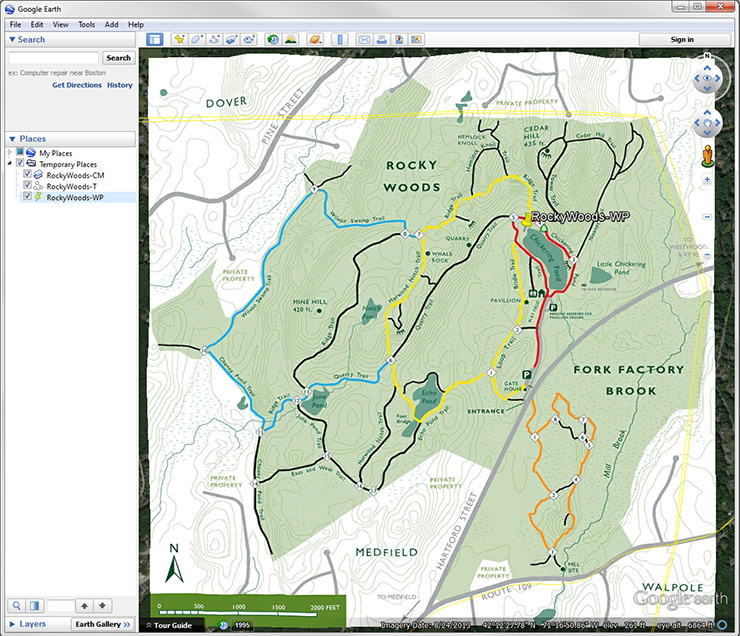
Save the waypoint as a kml file.
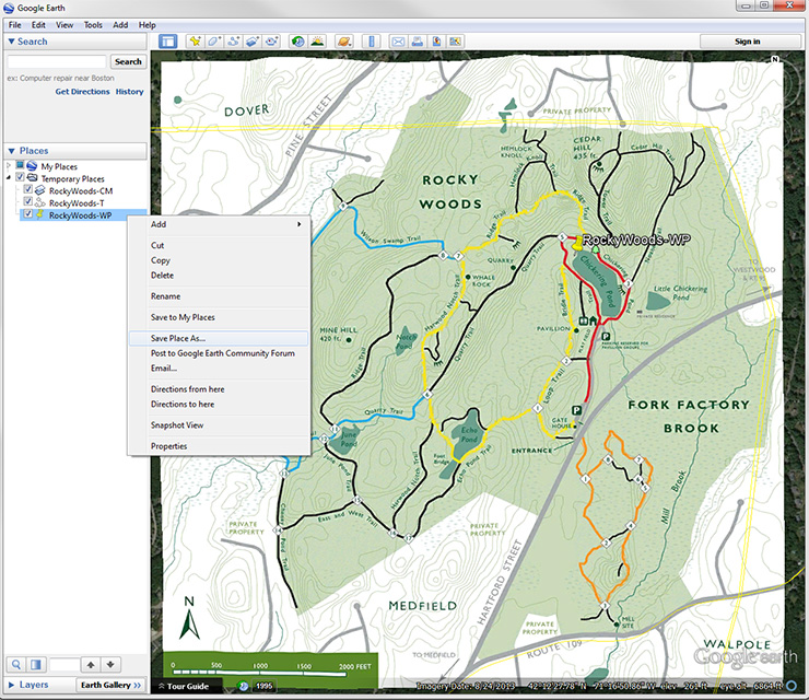

Load up GPSBabel to convert the kml file to a Garmin compatible gpx file.
Using Windows Explorer copy the gpx file onto your eTrex in the Garmin\GPX directory.
Up
Geocaching
There are fishing related geocaches that are fun to look for and create.
Go to
geocaching.com and sign up for a free basic account. A premium account, which is not covered here, incurs a fee and includes more features.
Finding a geocache
Search for a geocache in your area.
Once a geocache is found download the .gpx file. If the file is in .loc or .kml format then convert it to .gpx.
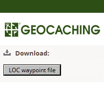
Download and use GPSBabel to convert the file to a .gpx file.
Using Windows Explorer copy the .gpx file onto your eTrex 20 in the Garmin\GPX directory.
The geocache will be under waypoints.
Hiding a geocache
Follow the
instructions to hide a geocache.
Up